Section 1 (4-5 days)
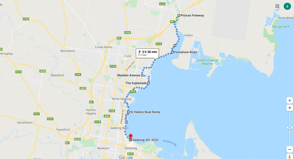
Melbourne to Geelong 95km
Spend some time in Melbourne exploring the many attractions this city has to offer including its indigenous heritage. Try one or all of these guided tours and exhibtions to learn more about the local Kulin peoples:
If you would like to start in Geelong, there are a couple of options that will also permit the carriage of bikes. The V/line train from Southern Cross (depart every 30-40 mins); and weekend ferries from Docklands to Geelong. https://www.portphillipferries.com.au/timetable/.
- Bunjilaka Aboriginal Cultural Museum located at the Melbourne Museum in Nicholson Street, Carlton. (Adults $15; Seniors $10; Concession and children free) https://museumsvictoria.com.au/bunjilaka/visiting/
- The Millari Garden at Bunjilaka Aboriginal Cultural Museum. Millari, meaning 'outdoors' in Boon Wurrung and Woi Wurrung language, is an ideal spot to find out about Victoria's native plants and ingredients. Walk around the enclosure to learn about the Woolip, Gneering and Barn used to make spears, weapons and tools, and see the mountain pepper, white elderberry and kangaroo apple used for medicine and food.
- Botanical Gardens: Womin Djeka. Journey into the ancestral lands of the Kulin (Koolin) Nation in this 90 minute tour with an Aboriginal guide. Daily except Saturday 11.30 ($29-35) https://www.visitmelbourne.com/regions/melbourne/things-to-do/aboriginal-victoria/arts-and-culture/aboriginal-heritage-walk#tab-moreinfo
- Birrarung Marr: With a Koorie guide, you will learn how the land on which Melbourne is located has changed over time and learn the significance of the Birrarung Wilam. https://koorieheritagetrust.com.au/visit-us/education/#guided-walking-tours
- Koori Heritage Trust exhibitions and historical displays.
- To see a more extensive list, visit the Indigenous Information page under the About menu or click here.
If you would like to start in Geelong, there are a couple of options that will also permit the carriage of bikes. The V/line train from Southern Cross (depart every 30-40 mins); and weekend ferries from Docklands to Geelong. https://www.portphillipferries.com.au/timetable/.
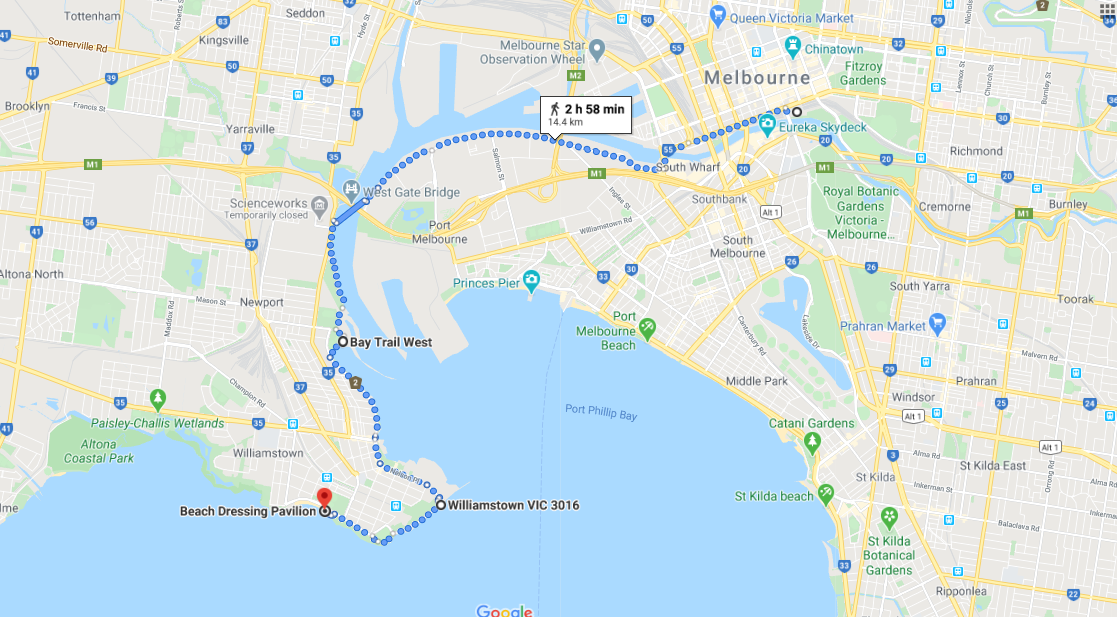
Federation Square to Williamstown 15km
Start from the Koori Heritage Trust in Federation Square and head down first to Birrarung Marr and the Yarra River.
Terrain: Includes cycle and walking trails and some city and suburban streets with a punt across the Yarra River below the West Gate Bridge. This section requires very little navigation as each cycle/walking trail tends to lead into the next. For information on the timetable and cost of the Punt click here.
Shorten 5km: Take the Lorimer Street tram 237 from near Docklands to West Gate Bridge. If you don't want to walk any of this part, there is a ferry (about 6 daily) from Southbank to Williamstown, but there is no facility for bikes on the ferry.https://williamstownferries.com.au/
Cycling: Follow the route including the Punt.
The Yarra has played a pivotal role in the pre-European history and the modern development of Melbourne. To the original Wurundjeri people, the river was “birrarung" – 'river of mists and shadows'. They camped on both banks of the river, especially near present day Government House and the Melbourne Cricket Ground. They caught eels in the swamps and lagoons of the river and fished using funnel-shaped fish pots. Extract from https://yarrariver.melbourne/history
Click here to download detailed directions (PDF)
|
From Melbourne
|

|
To Geelong
(4m-1m) |
Points of interest:
Birrarung Marr: A linear park whose name means 'river of mists' and 'river bank' in the Wolwurrung language of the Wurundjeri people, the indigenous inhabitants at the time of European settlement of the Melbourne area. (Wikipedia)
Southbank: Promenade of shops, outdoor dining, bars and coffee shops.
Westgate Bridge: Melbourne iconic bridge across the Yarra River. The main river span is 336 metres (1,102 ft) in length, and the height above the water is 58 metres (190 ft). The total length of the bridge is 2,582.6 metres (8,473 ft). (Wikipedia)
Westgate Punt: A boat operated for pedestrians and cyclists to cross the Yarra River. The Punt is timetabled Monday to Friday ($2.70) and 9am-5pm on demand on weekends ($5). It can take bikes. https://westgatepunt.com/
Water Views: Yarra River and Port Phillip Bay.
Click here to find out what facilities and accommodation are available in the towns.
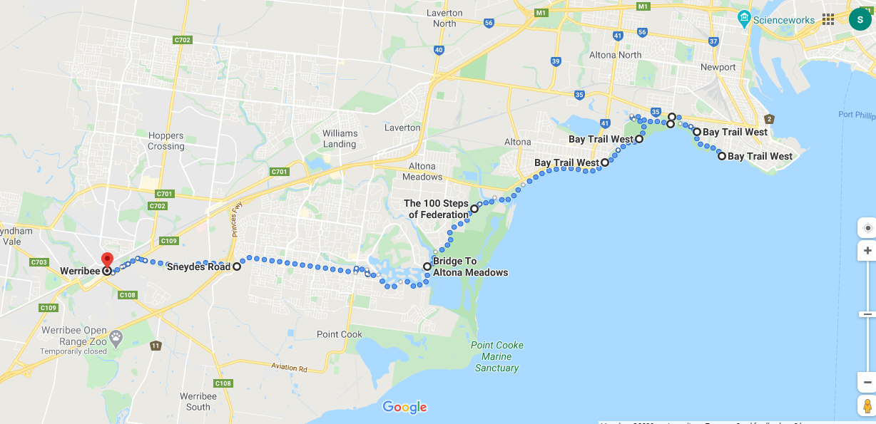
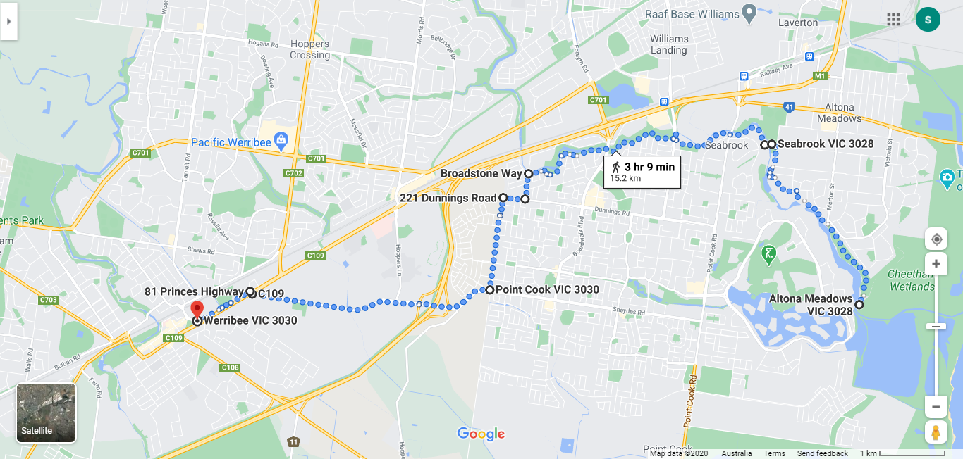
Williamstown Beach to Werribee 26km
Terrain: The first part of this stage follows the Bay Trail West to Altona Beach (about 7km). Through Altona and back onto a coastal trail through Truganina Park and alongside the Cheetham Wetlands. There are two options after crossing the Bridge to Altona Meadows. The shortest route goes through suburban streets ending in Werribee (12km). The longer option is on a trail which follows along the western side of the meandering Skeleton Creek (16km) and then follows suburban streets with wide shared use paths along Hackett Street and Sneydes Road.
Shorten 5km: Take the 415 bus from North Williamstown Station to Seaholm which is just before Altona Beach.
Cycling: The Skeleton Creek alternative is a well made joint use trail with no traffic, and a nice alternative.
The name Werribee is an aboriginal name meaning backbone or spine. It is thought that this name was given as the shape of the Werribee River valley in the landscape looks like a backbone. http://home.vicnet.net.au/~wfhg/history.htm
Click here to download detailed directions (PDF)